


Temperatures plummet fast as the wrap-around cold air from our rainmaker moves through the Tri-State. This will all be happening as the rain is ending. Some rain could change over to a wintry mix, or even snow. However, no accumulation is expected.
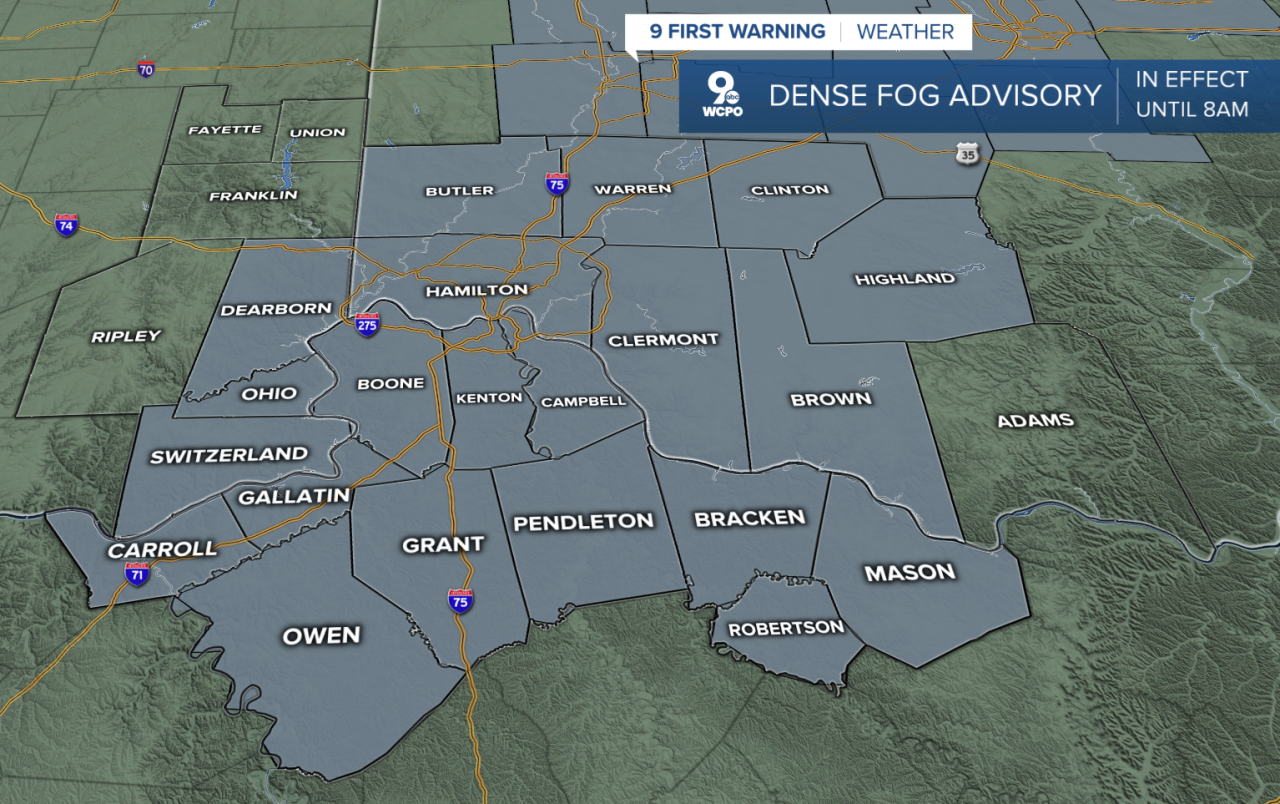
We also will have a visibility issue as dense fog continues across the area.
Thursday will stay predominately dry, but cold. Temperatures will fall into the low 30s for the afternoon high with more of the cloud cover. Our high Thursday will be 33°. We could see a few areas of light flurries along with the clouds, but nothing that would accumulate.
The cold also lasts into Friday for Valentine's Day, with a high of only 36°, but sunshine to start. Clouds move in late Friday as the next system nears for the weekend.

The weekend could be problematic. First, heavy rain will hit on Saturday and that could cause minor flood problems. It appears a couple of inches of rain will fall which could lead to flood advisories and will cause some rivers and streams to rise quickly.

Then, on Sunday that moisture runs into cold air so things change over to snow showers followed by much below-average cold air. This will mean teens and single digits in the morning with afternoon temps below freezing all next week.
TONIGHT
Rain ending
Areas-Wintry Mix
Low: 29
THURSDAY
Mostly Cloudy
A few flurries
High: 33
TOMORROW NIGHT
Gradual clearing
Very cold
Low: 17
9 First Warning Weather 24/7 Livestream
==========
- Interactive Radar: Track weather to your doorstep
- Sign up for severe weather email alerts
- Check latest school closings and delays
- WCPOtraffic updates
- Metro bus detours and updates (or call the hotline at 513-632-7538)
- Latest power outages from Duke Energy
- Flight cancellations and delays from CVG, other U.S. airports
