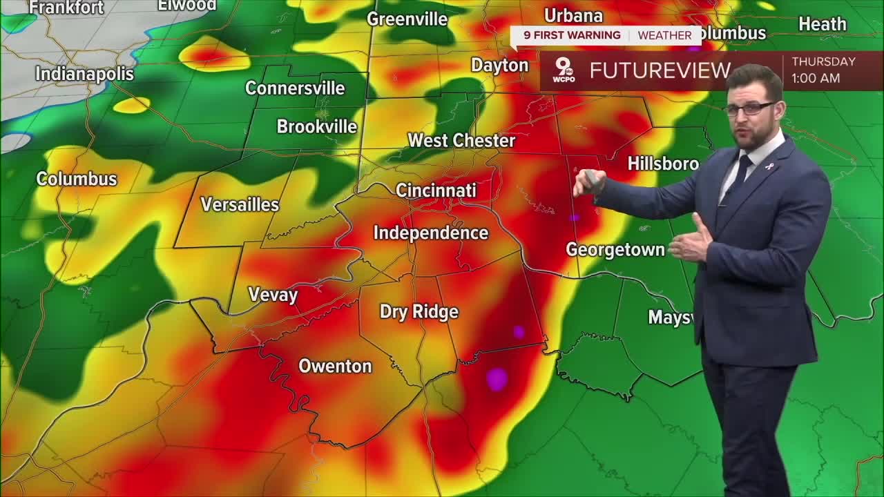
CINCINNATI — Severe weather of some kind headed to the Tri-State tonight, and there's one part of our forecast that makes these incoming storms of particular concern: The Storm Prediction Center (SPC) has the entire Tri-State under a "Significant Tornado Outlook."
Backing up two steps: The Storm Prediction Center is usually responsible for issuing a threat level of incoming severe storms. That threat level is a 1-5 scale, 1 being a concern about a possible severe thunderstorm in the area designated, up to a 5, which means widespread severe weather is expected, including tornadoes, hail and thunderstorms.
The western portion of the Tri-State is under a 4, or moderate risk, while the rest of our region is under a 3, or enhanced risk (full map of that, and a full explainer of the SPC scale, is at the bottom of this article).
As an added concern, the SPC has also put our entire region inside their Significant Tornado Outlook. This means that if a tornado does develop, it has a higher potential to become violent, meaning EF-2 strength or stronger.
9 FIRST WARNING: This is a map for today's "Significant Tornado" Threat. Citties like Cincinnati, Indianapolis, St. Louis, Nashville, Memphis & Little Rock are all within this risk. This area is where there is a greater probability for violent tornadoes today#wcpo #cincywx pic.twitter.com/BJ7CpyRRFR
— Brandon Spinner WCPO (@wxSpinner89) April 2, 2025
For context, the storms we had Sunday produced four EF-0 tornadoes, the least powerful type of tornado there is, which spawned damage to buildings and flipped RVs in various parts of the Tri-State.
The Enhanced Fujita scale, or the measurement of the strength of tornadoes, goes from EF0 to EF5. Here are the wind gusts measured for each level of tornado:
EF0: 65-85mph
EF1: 86-110mph
EF2: 111-135mph
EF3: 136-165mph
EF4: 166-200mph
EF5: 200mph or more
As you can imagine, stronger winds in a tornado mean more damage and danger.
For the Tri-State area, the majority of tornadoes that are confirmed by the National Weather Service are EF1s or EF0s. From 1950-2021, out of more than 250 tornadoes reported in the Tri-State, only about 30% of those were rated higher than an EF1.
For a look at the latest timing of Wednesday night's severe weather, click here. We will also go live with any severe weather alerts at this link.


