Monday afternoon turned stormy as we saw scattered thunderstorms form along the Ohio River. We ended up with one tornado warning as well.
But did you know, we had two wall clouds spotted? There was one with the tornado warning in Dearborn County and another in Clermont County!
Here's a look at the two cells in question around 6:15 p.m. Monday.

You can see in the image below, the rotation is indicated on radar just east of Sunman, Indiana. The arrow is pointing to where the red and green meet and this on "storm relative velocity" shows rotation, but not a confirmed tornado. This prompted the tornado warning. According to NWS chatter, a tornado did not touch down and the rotation fell apart closer to the state line.

We did get a few photos of a wall cloud from this tornado warned cell like this one below taken by Jonathan Davis near Perfect North Slopes.

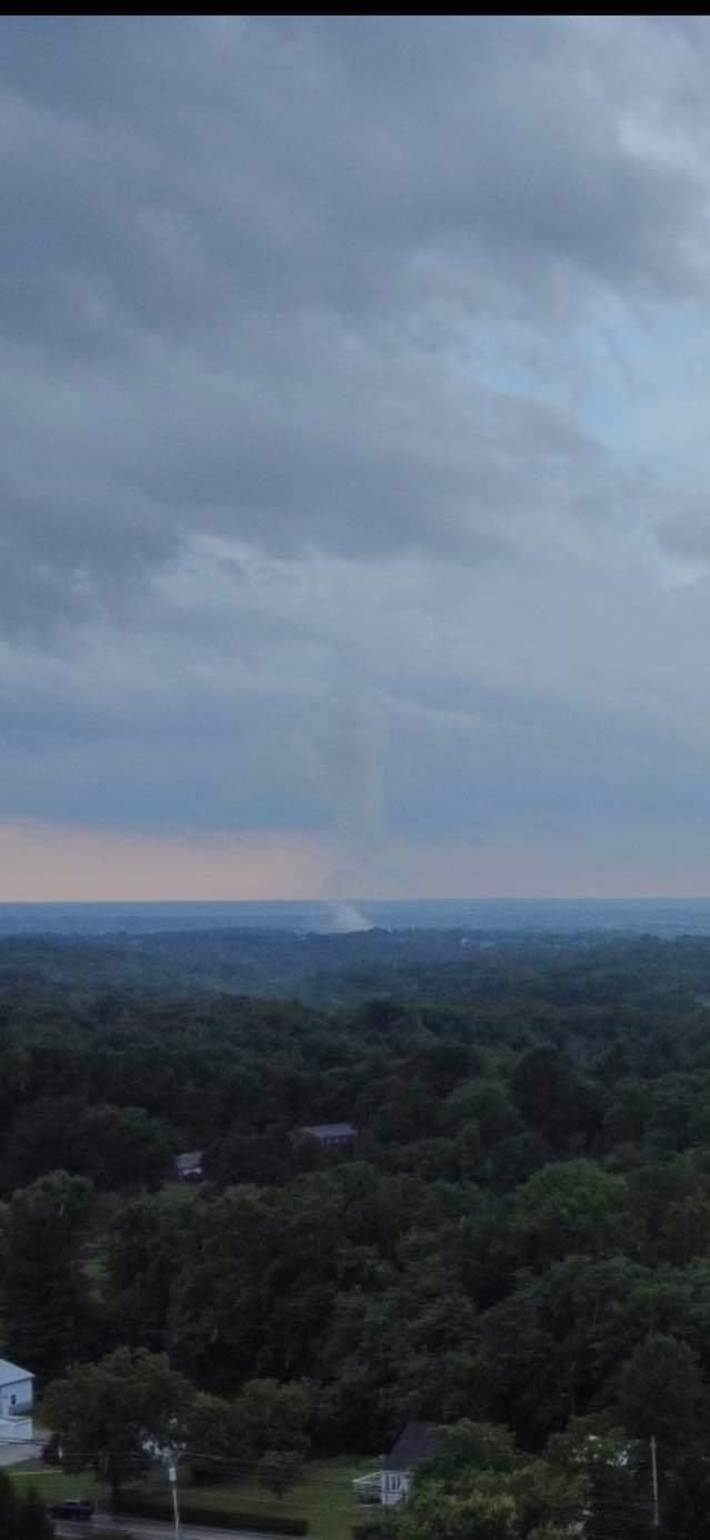
This next photo just came in this morning from Susan Johnson. She lives in Greendale and says this comes from her drone camera.

But check out one more radar snap, showing rotation around the same time southwest of Bethel. There wasn't a warning with this cell, but we indeed had a wall cloud forming!

A huge thank you to Noah Frye, a local pilot, for snapping the final photo shown in this post. You can see the wall cloud, especially on the right side, forming in association with the cell near Bethel. He had a friend on the ground that said "there was a little visible rotation, but never a defined funnel cloud or tornado."

If you have any photos to share from the storms on Monday, send them our way!


